The LogProduct
Douglas Sea State: A Practical Scale for Mariners
Discover the Douglas sea state scale, essential for mariners. Learn how it helps you make informed decisions about sailing and safety.
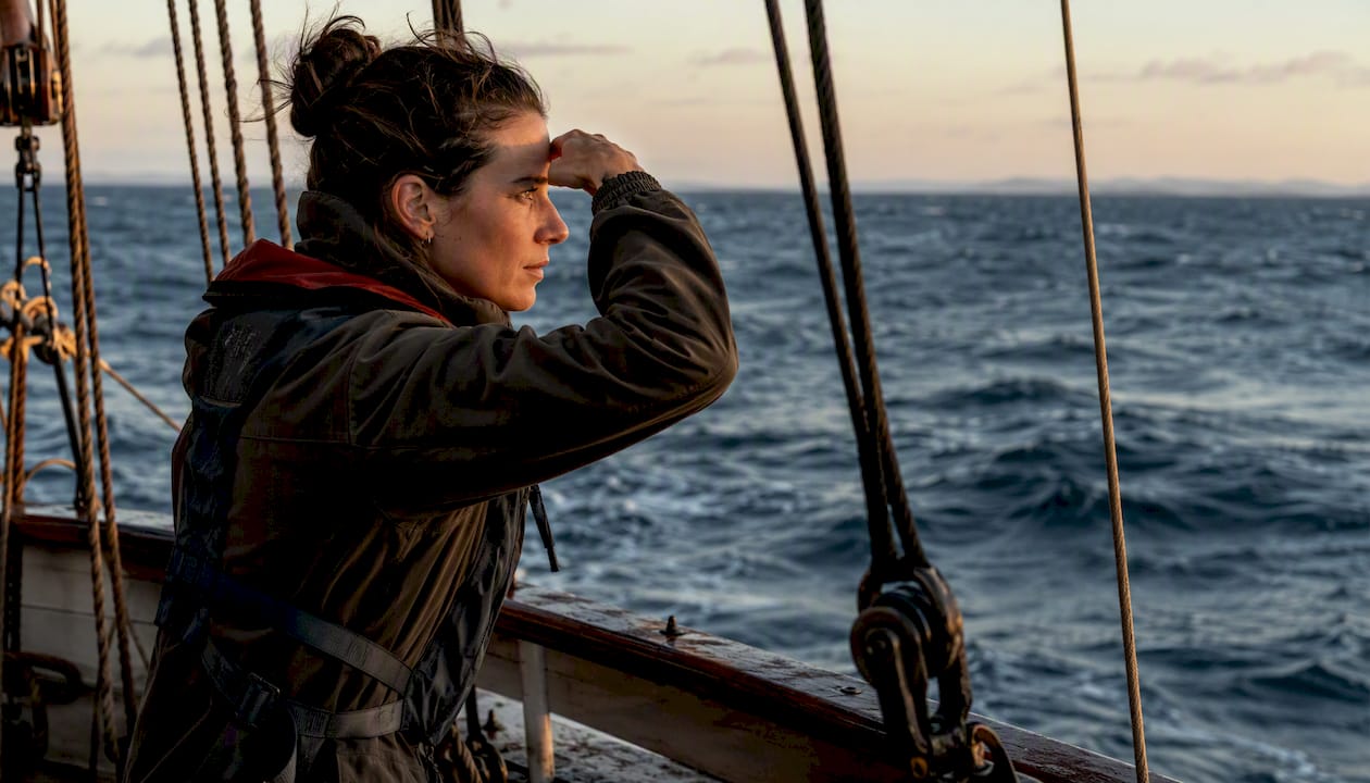
The Douglas sea state is a 0 to 9 scale mariners use to describe how rough the water looks, and it codes wind sea and swell as two separate numbers rather than one blended guess. A degree 3 chop on a sunny afternoon means something different to a dinghy sailor than a degree 3 does to a container ship, but the scale itself doesn’t change. What changes is what you do with it.
Knowing where you sit on the scale tells you when to reef, when to divert, and when the forecast on your phone is worth a second look against what your eyes are actually seeing. The mid degrees matter most for everyday decisions.
-
Degree 0 (calm, glassy): No waves, mirror-like surface.
-
Degree 1 (calm, rippled): Small ripples, no crests.
-
Degree 3 (slight): Wind waves 0.5 to 1.25 m, comfortable for most coastal boats.
-
Degree 5 (rough): Waves 2.5 to 4 m, small craft advisories typically kick in around here.
-
Degree 7 (very rough to high): Waves 6 to 9 m, serious territory for anything under 40 feet.
-
Degree 9 (phenomenal): Waves over 14 m, a condition most vessels are built to avoid entirely, not survive.
Key Takeaways
The Douglas sea state gives mariners a fast, standardized way to log wind sea and swell separately, but it works best alongside instrument data and a clear understanding of local conditions.
| Point | Details |
|---|---|
| Two numbers, not one | Always report wind-sea degree and swell degree separately, plus swell direction and period when possible. |
| Degree 5 is the pivot point | Rough conditions and small-craft advisories typically begin around Douglas degree 5. |
| Period matters as much as height | A short, steep sea at a lower degree can feel worse than a long swell at a higher one. |
| Cross seas deserve extra caution | Two wave systems meeting at an angle complicate heading choices and raise risk for small craft. |
| Pair observation with real-time data | Nausika supplies validated buoy, tide, and forecast data that complements, not replaces, your own Douglas reports. |
Table of Contents
- What Is the Douglas Sea Scale and Why It Splits Wind Sea From Swell?
- The Full Douglas Scale: Degrees 0 to 9
- How Do You Read and Report a Douglas Sea State Observation?
- What Does Each Sea State Mean for Your Vessel?
- How Does the Douglas Scale Compare to Buoy and Satellite Data?
- Where the Douglas Scale Falls Short
- What I Watch for Beyond the Number Itself
- How Nausika Complements Your Douglas Sea State Reports
- Frequently Asked Questions
- Sources
What Is the Douglas Sea Scale and Why It Splits Wind Sea From Swell?
The scale traces back to Captain (later Admiral) Sir Percy Douglas, a British naval hydrographer, who developed it in 1921 to give mariners a common, repeatable shorthand for describing the ocean surface. A century later it’s still the reference point in ship logbooks, weather bulletins, and radio reports worldwide, largely because it solves a problem instruments still struggle with: capturing what a trained eye sees in a glance.
Sea state itself refers to the overall condition of the water surface, combining locally generated wind waves with swell that arrived from a storm system hundreds of miles away. The Douglas scale separates these into two codes precisely because a calm-looking sea can still carry a dangerous long-period swell underneath it, and a choppy wind sea can sit on top of an otherwise gentle swell. Reporting them together as one number would erase that distinction, and that distinction is often the thing that decides whether a passage is comfortable or miserable.
The Full Douglas Scale: Degrees 0 to 9
Here’s the complete reference, built around the wave height ranges maintained by maritime meteorological services. Treat the meter figures as typical ranges rather than hard ceilings. Real seas are messier than any table.
A few things worth flagging before you copy this into a logbook:
- Degrees 0 to 1 correspond to what NOAA classifies as calm conditions, and degree 5 marks the start of what most forecasters call rough seas.
- Swell height is reported separately using a similar low/moderate/heavy descriptor rather than the same 0 to 9 numbering, since swell and wind sea rarely peak at the same time.
- The upper degrees (8 and 9) are rare enough in coastal sailing that most recreational mariners will never log them, but commercial and offshore crews should know them cold.
How Do You Read and Report a Douglas Sea State Observation?
Wind sea is what the local wind is kicking up right now. Swell is energy that traveled from a distant weather system and keeps rolling long after the wind that made it has died down. The Douglas scale reports these separately because a vessel can face calm wind waves and a heavy cross swell at the same time, and that combination changes how a boat handles far more than either factor alone.
A proper report includes; see more detailed explanations in the Ship Terminology: A Complete Guide for Maritime Pros to better understand common maritime reporting conventions.
- Wind-sea degree (0 to 9).
- Swell degree, using low, moderate, or heavy.
- Swell direction, given as the direction it’s coming from.
- Wave period, if you can estimate it, since a 4-second chop and a 10-second swell at the same height feel entirely different.
A coastal example might read: “Sea state 3, wind sea slight from the southwest, moderate swell from the west, period around 8 seconds.” An offshore log might say: “Sea state 6, very rough wind sea, heavy swell from 240 degrees, period 12 seconds, confused near the shelf break.”
What Does Each Sea State Mean for Your Vessel?
The same Douglas number lands very differently depending on what you’re sailing. A degree 4 moderate sea barely registers on a 200-foot cargo ship but will have a 20-foot keelboat pounding and a dinghy sailor looking for the nearest inlet. Motor yachts sit somewhere in between, more sensitive to wave period than raw height because a fast hull slamming into short steep waves at degree 3 can feel worse than a long, rolling degree 4 swell.
- Degree 3 to 4: Comfortable for most keelboats and motor yachts, marginal for open dinghies without shelter nearby.
- Degree 5: A common threshold where small craft advisories appear and recreational sailors start reconsidering departure plans.
- Degree 7: Cargo operations, pilot transfers, and small-craft passages generally stop; this is commercial-ship territory only.
Pro Tip: Two locations reporting the same Douglas degree can feel completely different at the helm. Long-period swell moves a boat gently even at real height, while short, steep wind waves at a lower height can beat a crew up far worse. Always ask about period, not just height.
How Does the Douglas Scale Compare to Buoy and Satellite Data?
Instruments report significant wave height, usually written as Hs, which is a statistical average of the highest third of waves measured over a set period at a fixed point. A Douglas degree is an observer’s visual estimate of the whole sea surface from the deck of a moving vessel. Both describe the same phenomenon, but they rarely agree exactly, and that gap is worth understanding rather than dismissing.
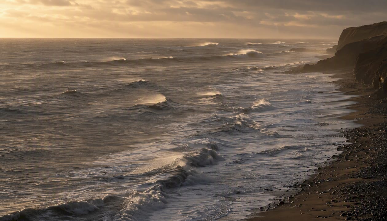
Divergence happens for a few concrete reasons. Buoys average over time and miss short bursts of steepness that a sailor’s eye catches instantly. Swell can also evolve far from where the wind generated it, arriving from a direction that has nothing to do with the local breeze, which confuses anyone trying to eyeball a single “sea state” number. Local fetch and duration further modify things, which is why Beaufort wind force and Douglas sea state should never be treated as interchangeable. A gale-force wind over a short fetch produces very different waves than the same wind blowing across open ocean for days.
Trust instruments for a precise number at a fixed point. Trust an observer’s Douglas report for what the sea actually feels like along your specific route, including the cross seas and local weirdness a buoy fifty miles away can’t see.
Where the Douglas Scale Falls Short
No single number captures everything happening on a moving ocean surface, and the Douglas scale was never meant to. It’s subjective, tied to one observer’s eye, and it says nothing about wave period or steepness, both of which affect vessel motion as much as height does. A degree 4 with a short, sharp period can be more punishing than a degree 5 with a long, easy roll.
Local geography compounds the problem. Headlands, shoaling water, and tidal currents running against wind or swell can turn a benign degree 3 into something far nastier within a few hundred meters, with no change in the reported sea state at all.
- Cross seas, formed when two wave systems meet at an angle, are a particular hazard because they complicate heading choices and have been linked to a disproportionate share of small-craft incidents.
- Bathymetry and tidal race zones can steepen waves dramatically over short distances.
- A single Douglas number never tells you whether the sea is confused or orderly, and confused seas are the ones that catch sailors off guard.
What I Watch for Beyond the Number Itself
After years of parsing marine forecasts and logbook entries, the habit that matters most is never trusting a single figure in isolation. I always note swell direction and period alongside the Douglas degree, and I cross-check any buoy-reported significant wave height against what the water actually looks like from the deck before committing to a course change.
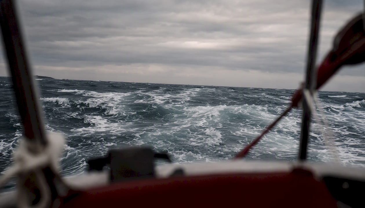
That habit exists because the gap between an instrument reading and lived experience is where bad decisions happen. Reading the scale well means using it as one input among several, not a verdict.
How Nausika Complements Your Douglas Sea State Reports
The Douglas scale will always have a place in your logbook. It’s fast, it’s free, and it captures subjective judgment that no sensor fully replicates. But your eye can’t see three hours ahead, and it can’t tell you what the swell is doing forty miles up your intended route. That’s where validated real-time data closes the gap.
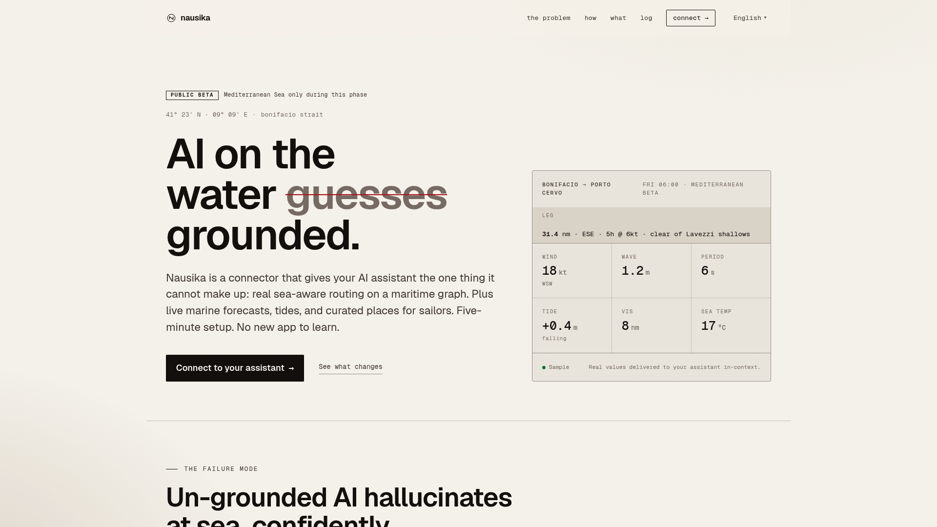
Nausika connects directly to your existing AI assistant and pulls in live marine forecasts, buoy observations, and tide data from verified sources, so the routing advice you get is grounded in real numbers rather than a generative guess. It doesn’t replace your logbook entries or your own read of the water. It gives you a second, instrument-backed opinion before you commit to a passage plan, especially useful when you’re deciding whether that forecasted degree 5 is going to hold off until you reach shelter. Head to the Nausika landing page to see how it plugs into the assistant you already use, and check the roadmap for what’s coming next.
Frequently Asked Questions
What does Douglas sea state 3 mean? Degree 3 describes a slight sea, with wind-generated waves typically between 0.5 and 1.25 meters. Most coastal keelboats handle it comfortably, though open dinghies may find it uncomfortable without nearby shelter.
Is the Douglas scale the same as the Beaufort scale? No. Beaufort measures wind force, while Douglas measures the resulting sea surface. They’re often related but should never be treated as interchangeable, since fetch and duration change how much sea a given wind force produces.
How is sea state different from significant wave height? Significant wave height is an instrument-measured statistical average from a fixed point. Douglas sea state is an observer’s visual estimate of the whole sea surface, which is why the two numbers can diverge.
What is a dangerous Douglas sea state for a small boat? Most recreational sailors treat degree 5 and above as a threshold for real caution, and degree 7 or higher as conditions to avoid entirely in anything under about 40 feet.
Why does the Douglas scale separate wind sea and swell? Because a calm-looking wind sea can sit on top of a heavy, distant swell, or vice versa. Reporting them as one number would hide a condition that materially changes how a vessel handles.