The LogProduct
Hurricane Holes for Boaters: How to Choose and Prepare
Discover how to choose and prepare hurricane holes for safe refuge during storms. Get crucial tips for securing your boat effectively.
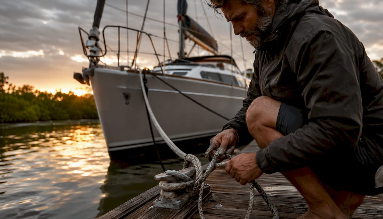
A hurricane hole is a naturally sheltered bay, creek, canal, or monitored mooring field where you take refuge during severe tropical weather — but you should rely on one only after confirming protection level, holding quality, surge history, and insurance compliance. If a direct track is forecast over your location, haul out or use engineered dry storage instead.
Before the storm arrives, three things need to happen immediately:
- Arrive early. Practical Sailor recommends being fully secured at your chosen refuge at least 48 hours before storm-force winds reach your area. That window is not a suggestion — it is the minimum time to set lines, check holding, and fix problems.
- Notify your insurer and marina. Call or email both with your storm plan, location, and contact details. Many policies require documented notification before a named storm.
- Run a dry run before the season starts. Set your lines, measure tidal swing, identify chafe points, and time how long the whole process takes. Surprises during a dry run are recoverable. Surprises at 60 knots are not.
NOAA’s hurricane and storm-surge forecasts are your primary decision tool throughout. Monitor them continuously once a system organizes. Tools like Nausika can integrate live NOAA data and harbor information directly into your AI assistant, so alerts reach you without manual checking.
Key Takeaways
The single most reliable hurricane hole strategy combines an early arrival window, redundant attachment systems, and a haul-out backup — no single location or tactic is sufficient on its own.
| Point | Details |
|---|---|
| Arrive early | Be fully secured before storm-force winds arrive; late arrivals face crowding and no time to fix problems. |
| Redundancy over reputation | Multiple anchors, long chafe-protected pennants, and backup plans outperform any single famous anchorage. |
| Surge is the hidden threat | Check NOAA storm-surge forecasts for your specific site; low-lying canals and creeks can flood faster than they drain. |
| Insurance compliance is non-negotiable | Read your policy’s storm clause before the season; some require haul-out or documented notification to remain valid. |
| Nausika automates the data workflow | Nausika integrates live NOAA forecasts, tide predictions, and harbor data into your AI assistant for real-time threshold alerts. |
Table of Contents
- What are the main types of hurricane holes?
- Dangers you must plan for in a hurricane hole
- How do you choose the right hurricane hole for your boat?
- How to secure your boat in each type of hurricane hole
- What insurance and legal requirements apply to hurricane holes?
- What can Boot Key Harbor and Stock Island teach us?
- How does real-time data reduce risk when choosing a hurricane hole?
- What to check after the storm passes
- How to stay connected and prepared while sheltering
- The case for conservative planning over confident assumptions
- Nausika gives you validated marine data when decisions matter most
- Sources
What are the main types of hurricane holes?
Garden & Gun’s definition captures it well: a hurricane hole is a well-protected, often mangrove-lined bay, creek, or harbor used as refuge during severe tropical weather — and no location is totally safe. That last part matters. Reputation alone has lured boats into dangerous situations. Understanding the structural differences between refuge types is how you avoid that trap.
Natural mangrove creeks and sheltered bays
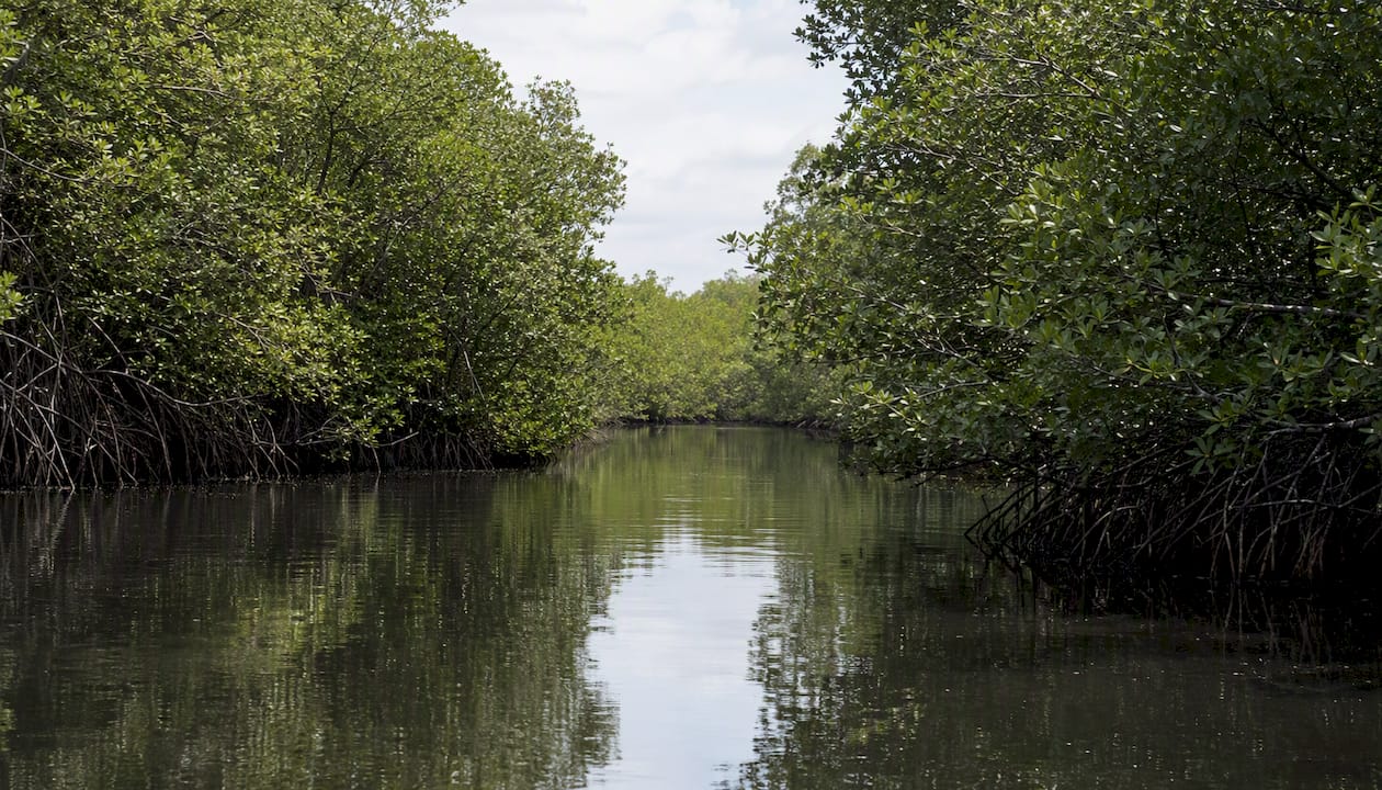
These are the classic image: a narrow, winding creek with dense mangrove on both sides, blocking wind from every direction. The mangroves absorb wave energy and provide shore-tie points. Depth is often shallow, which suits smaller powerboats and shoal-draft sailboats. The risks are real, though: mangrove health varies, trees can topple onto boats, surge can pile water into a confined channel faster than it drains, and egress may be blocked by a single low bridge.
Canals and shore-tie canals
Residential canals in South Florida and the Keys are among the most commonly used storm refuges for local boaters. BoatUS notes that canals can be excellent hurricane holes when shore-ties, multiple lines, and mangrove protection are available — but they carry specific risks: trees toppling, surge pile-up in dead-end channels, chafe on seawall edges, and limited egress once water rises. Catamarans and wide-beam boats often struggle with canal width and bridge clearance.
Monitored mooring fields
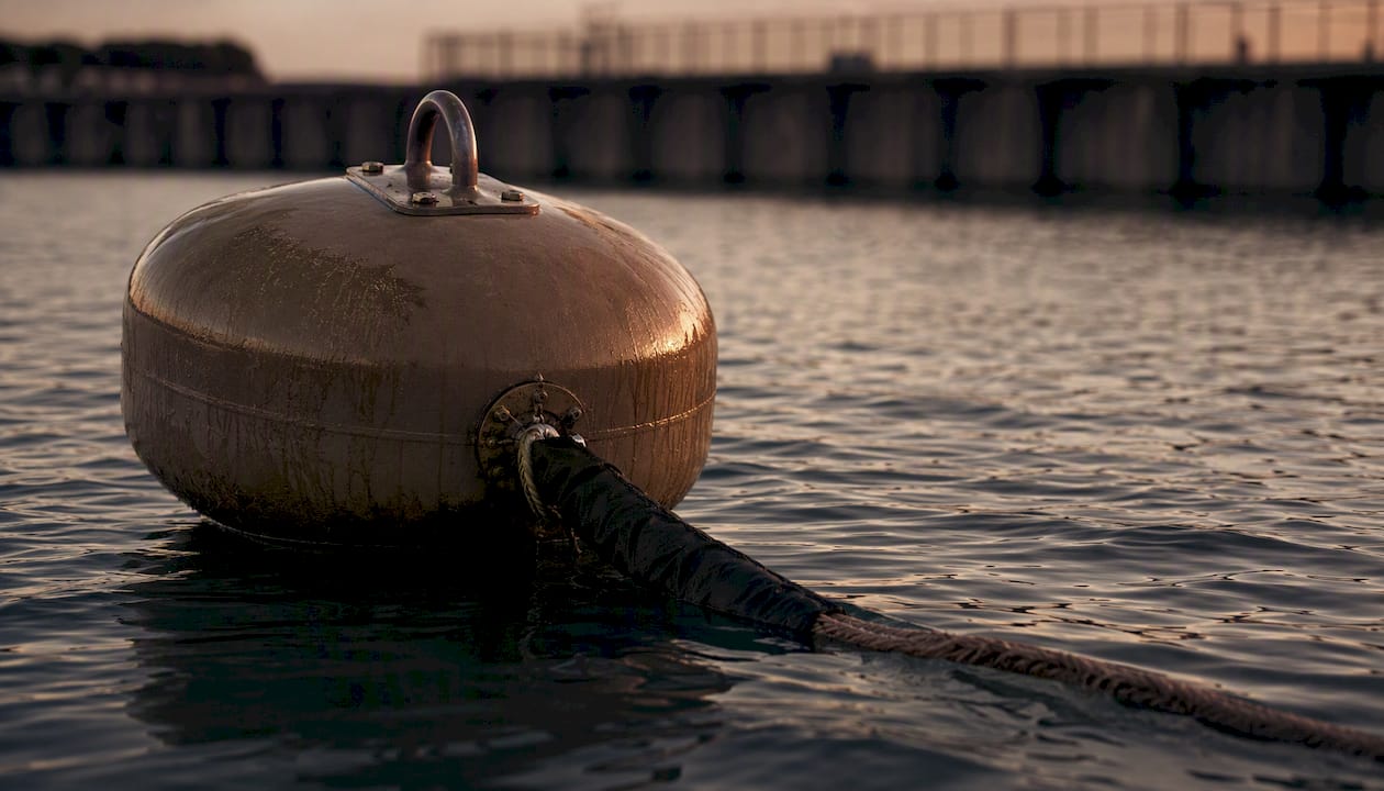
Some harbors maintain pull-tested, rated mooring systems with published working load limits (WLL). These are preferable to unrated moorings, but the mooring is only as good as its pennant. Short or worn pennants were a documented failure point during Hurricane Irma. Mooring fields suit mid-size cruising sailboats well, provided you add long, chafe-protected pennants and inspect the hardware yourself before committing.
Engineered marinas: dry racks, keel pits, and storm cradles
Cruising World’s overview of engineered solutions makes the case clearly: dry racks, concrete keel pits, and storm cradles change the risk calculus compared to natural anchorages, and insurers often prefer these options when evaluating coverage. A boat strapped into a concrete keel pit with certified tie-downs is not subject to anchor drag, chafe, or collision from a neighbor’s loose vessel. The trade-off is cost, scheduling pressure (haul-out slots fill fast), and the fact that not every hull type fits every system.
Comparison by key dimensions
Dangers you must plan for in a hurricane hole
The most dangerous thing in a hurricane hole is often not the storm. It is the other boats.
Gallagher Skippers’ Plan warns that crowding turns these refuges into high-risk environments because boats that break free become missiles, producing many of the post-storm losses. That dynamic played out clearly during Hurricane Irma in 2018, when Boot Key Harbor in Marathon, Florida, saw boats dragging into each other after pennants chafed through or anchors lost holding in the surge-churned bottom. The harbor’s reputation as a safe anchorage drew more boats than it could safely hold.
Beyond crowding, here are the hazards that demand specific mitigations:
- Anchor drag. Bottom composition changes with surge and wave action. Use a heavier anchor than you think you need, set it hard, and add a second anchor in a Bahamian moor or spider configuration. Scope of 7:1 or more is a reasonable floor.
- Chafe and rode failure. Every line touching a surface will chafe. Wrap chafe gear at every contact point — chocks, cleats, tree bark, seawall edges — and inspect it every few hours if conditions allow.
- Storm surge and inland flooding. FEMA’s guidance on siting relative to flood hazards is a useful frame: low-lying, enclosed channels can fill faster than they drain. Check the NOAA storm-surge forecast for your specific location, not just the general track.
- Debris and entanglement. Floating debris — dock sections, lumber, other boats’ gear — can foul props, damage hulls, and tangle anchor rodes. Minimize anything hanging over the side.
- Limited egress. A drawbridge that stops operating at sustained winds above 35 knots can trap you. Know the bridge’s operating policy before you commit to a location behind it.
- Degraded sites. Cruising World notes that coastal development and mangrove removal have degraded many historically reliable hurricane holes. Verify current conditions with satellite imagery and recent local reports, not just a guidebook from five years ago.
How do you choose the right hurricane hole for your boat?
Start with the decision rule: protection from wind and waves first, surge risk second, insurance compliance third. If a site fails any of those three, it is not your primary option regardless of its reputation.
Identify at least three options before the season starts: a primary refuge, a backup, and a haul-out facility. You may not get your first choice when a storm is 72 hours out.
The selection checklist
- Protection and fetch. How far can wind-driven waves build before reaching your position? A creek mouth open to a 10-mile fetch is not protected.
- Entrance depth and width. Can you enter at low tide with your draft, and is the channel wide enough for your beam plus fenders?
- Bottom type and holding. Mud holds well; sand less so; rock and grass are unreliable. Ask locals or check recent cruising reports.
- Tidal range. A 4-foot tidal range means your lines need to accommodate that swing without going slack or pulling cleats out.
- Surge history. Has this location flooded in past storms? Check NOAA’s historical storm-surge records and local knowledge.
- Crowding capacity. How many boats can the site realistically hold? If it fills at 30 boats and 60 show up, the math is bad.
- Shore-tie options. Are there healthy trees, pilings, or dedicated shore-tie rings? Are they rated?
- Monitored mooring availability. Does the mooring field publish WLL data and inspection records?
- Haul-out option. Is there a yard within reasonable distance that can take your boat on short notice?
- Bridge and drawbridge access. What are the operating conditions and cutoff wind speeds?
- Permits and permissions. Some public mangrove areas and mooring fields require advance permits. Check with the local harbormaster.
- Emergency services access. Can Coast Guard or emergency responders reach you if something goes wrong?
Pro Tip: Run a pre-season dry run at your primary site. Set all lines exactly as you would for a storm, measure the tidal swing over a full cycle, identify every chafe point, and time the whole process. A dry run that reveals a problem in June is a gift. The same problem at 2 AM with a storm 36 hours out is a crisis.
Validate each checklist item with current data: recent NOAA charts, satellite imagery, a direct call to the harbormaster, and ideally a visit. Guidebook entries go stale. A mangrove that was healthy in 2019 may have been cleared for a marina expansion by now.
How to secure your boat in each type of hurricane hole
The universal principle is redundancy. No single line, anchor, or attachment point should be the only thing holding your boat. Every system needs a backup, and every backup needs chafe protection.
A. Shore-tie in a mangrove creek
- Set a stern anchor with 7:1 scope or more before entering the creek.
- Run bow lines to the strongest available trees or shore-tie rings — use multiple lines to separate trees, not all to one.
- Add a second bow anchor if space allows, oriented to resist the dominant wind direction.
- Rig chafe protection at every point where a line contacts bark, a root, or a cleat.
- Check tree health before you tie to it. A dead or stressed mangrove can pull out of saturated soil.
- Keep lines long enough to accommodate tidal swing and surge without going bar-taut.
B. Canal or seawall
- Rig fenders generously — more than you think you need, covering the full length of the hull.
- Use spring lines fore and aft to prevent surging along the wall.
- Add breast lines to hold the boat off the wall; a standoff pole or fender board prevents hull contact on a rough seawall face.
- Run shore lines to multiple points, not just bow and stern cleats.
- Check that your dock lines are long enough to handle a surge rise of several feet without pulling hardware.
C. Mooring field
- Inspect the mooring hardware yourself: shackle, swivel, chain, and pennant. Do not assume the field has done it recently.
- Ask the harbormaster for the mooring’s WLL and the date of the last pull test. Practical Sailor’s reporting on Irma identified short, worn pennants as a primary failure mode.
- Replace or supplement the provided pennant with your own long, double-braid pennant — minimum 15 feet, ideally 25, to allow the mooring to absorb shock loads.
- Wrap chafe protection at every point where the pennant contacts the bow roller or chock.
- Add a second pennant as a backup, attached to a separate point on the mooring chain.
D. Anchoring in a lagoon or open anchorage
- Use a Bahamian moor (two anchors set 180° apart) or a spider configuration with three anchors to limit swing and reduce drag risk.
- Set scope at 7:1 minimum; 10:1 in extreme conditions.
- Use a kellet (chain weight) to lower the angle of pull on the anchor and absorb shock.
- Mark your anchor position with a GPS waypoint so you can detect drag immediately.
E. Marina haul-out and dry storage
- Confirm the facility is rated for the storm category you are preparing for — not all haul-out yards are built to the same standard.
- Ask whether tie-down anchors are certified and whether the yard has a documented storm plan.
- Schedule early. Haul-out slots disappear 72–96 hours before a named storm.
- Confirm your boat’s weight and beam fit the available cradles or keel pits.
Equipment checklist:
- Two primary anchors (at minimum) sized for your displacement, plus a third storm anchor
- Heavy chain: at least 100 feet for the primary rode
- Chafe gear: leather, rubber hose, or commercial chafe protection for every contact point
- Extra shackles and mousing wire
- Long spare pennants (25 feet minimum, double-braid)
- Dedicated shore-tie lines (not your dock lines)
- Snubber for chain rode
- Extra fenders and fender boards
- Ground anchors for shore-tie situations
Pro Tip: Route pennants and shore lines so they lead fair — no sharp angles over a cleat or through a chock. A line that bends 90° over a metal edge will chafe through in hours at storm loads. Check every contact point before you leave the boat.
What insurance and legal requirements apply to hurricane holes?
Your insurance policy may dictate where you can legally shelter — and failing to comply can void your coverage at the worst possible moment.
The most common policy requirements include:
- Haul-out mandates. Some policies require haul-out if a named storm enters a defined geographic box (often called the “hurricane box”). Read your policy before the season, not during it.
- Monitored mooring requirements. Certain insurers require that the mooring field be certified or inspected, not just any available buoy.
- Notification obligations. Most policies require you to notify the insurer of your storm plan and location before the storm arrives. Document this in writing.
- Transit date restrictions. Policies often restrict movement within the hurricane box after a named storm forms. Know your cutoff dates.
Action items to complete before the season
- Read your policy’s storm clause in full and note every specific requirement.
- Call your insurer and ask directly: “Does my policy require haul-out for a named storm in my area? What documentation do I need to provide?”
- Ask your marina whether it has certified infrastructure and whether it can provide documentation your insurer will accept.
- Confirm your deductible for a named storm — it is often a percentage of hull value, not a flat amount, and it can be substantial.
- Keep copies of your storm plan, marina confirmation, and insurer notification in a waterproof bag aboard and in cloud storage.
Local regulations and permits: Shore-ties in public mangrove areas often require a permit from the relevant county or state agency. In Florida, the Florida Department of Environmental Protection and local county harbormaster offices are the right contacts. Mooring fields in state waters may have their own permit requirements. Check at least 30 days before the season — permit processing takes time.
Documents to keep accessible: insurance policy storm clause, marina storm plan confirmation, insurer notification email, local permit (if required), and a list of emergency contacts including the Coast Guard Sector for your area.
What can Boot Key Harbor and Stock Island teach us?
Boot Key Harbor, Marathon, Florida
Boot Key Harbor is one of the most referenced hurricane holes in the Florida Keys. During Hurricane Irma in September 2017, the harbor’s reputation drew a large number of boats, and the crowding became a liability. Boats that dragged or lost their pennants struck neighbors, and the chain-reaction collisions accounted for a significant share of the damage. The lesson is not that Boot Key Harbor is a bad refuge — it is that any refuge becomes dangerous when it exceeds its practical capacity.
The specific failure modes documented after Irma: pennants that were too short to absorb shock loads, chafe that was not inspected or re-rigged during the storm, and anchors that lost holding in surge-disturbed bottom. All three are preventable with the procedures in the previous section.
What to copy: Long pennants, redundant attachments, and a backup plan if the primary site fills. What to avoid: Arriving late, relying on a single pennant, and assuming a famous harbor is automatically safe.
Hurricane Hole Marina, Stock Island (Key West area)
Hurricane Hole Marina on Stock Island is notable partly because its name is literal marketing — it sits in a location that has historically offered good protection. What local marinas in the Keys commonly provide: concrete finger piers, haul-out capability, and in some cases keel pits or storm cradles for higher-value vessels. The marina’s enclosed basin reduces fetch significantly compared with open anchorages.
Cruising World’s analysis of engineered solutions confirms that facilities investing in dry racks, storm cradles, and certified tie-downs offer a measurably different risk profile. Insurers recognize this: a boat in a concrete keel pit with certified strapping is a different underwriting proposition than a boat on a mooring in an open field.
What to copy: Engineered tie-down systems, enclosed basin geometry, and advance haul-out scheduling. What to avoid: Assuming the name “hurricane hole” on a marina’s sign is a guarantee of any specific protection standard.
BoatUS guidance
BoatUS is the most consistently useful resource for U.S. boaters navigating the intersection of storm preparation and insurance. Their hurricane preparation checklists, canal and shore-tie guidance, and insurer-facing documentation templates are worth downloading and keeping aboard. Their claims data from past storms is also the most granular publicly available record of what actually fails and why.
How does real-time data reduce risk when choosing a hurricane hole?
The decision to stay in a hurricane hole or haul out is not a one-time call. It is a continuous reassessment as the storm track evolves, surge forecasts update, and conditions at your specific site change. Static guidebook information cannot do that work. Real-time, validated data can.
The specific data points that matter most:
- Wind speed and gusts at your location. Track forecasts are probabilistic. Your site may be in the 5% scenario, not the median. Watch the full cone and the intensity forecast, not just the track.
- Storm-surge forecasts. NOAA’s storm-surge products give location-specific inundation estimates. A surge forecast of 4 feet in a canal with 3-foot freeboard is a haul-out trigger, not a “wait and see.”
- Tidal extremes. A storm surge arriving at high tide compounds the inundation. Know your tidal window.
- AIS tracks of nearby boats. A vessel that has been stationary for 12 hours and suddenly starts moving is either leaving or dragging. Either way, you need to know.
- Mooring WLL records. If the mooring field publishes inspection data, pull it. If it does not, treat the mooring as unrated.
Practical workflows
Set a wind-speed alert threshold at the point where your go/no-go decision must be made — typically when storm-force winds (48 knots) are forecast within 72 hours for your location. That gives you the 48-hour buffer to execute your plan. If the forecast crosses that threshold and you have not yet moved, you are already behind.
Use AIS or local VHF monitoring to detect a drifting vessel before it reaches you. A boat dragging at 0.5 knots in a crowded anchorage will cover 100 yards in about three minutes. Early detection is the difference between a fender contact and a hull breach.
Pro Tip: Combine NOAA’s storm-surge forecast with your specific harbor’s tidal prediction and any available mooring telemetry. The combination of those three data streams gives you a go/no-go picture that no single source can provide alone. Set alerts for each threshold independently so a change in any one of them triggers a review.
Nausika integrates validated NOAA forecasts, tide predictions, and harbor data directly into AI assistants, automating the alert workflow described above. That means you get a timely notification when a threshold is crossed rather than relying on manual checks at 3 AM. Users should still confirm local conditions and insurance terms directly — no data tool replaces that judgment.
What to check after the storm passes
Leaving a hurricane hole too early is its own risk. Wait for the official all-clear from the National Hurricane Center and local authorities before moving.
Before you leave your berth:
- Check bilge levels and hull integrity before starting the engine.
- Inspect all lines and fittings for chafe damage, elongation, or cracking.
- Check the prop and rudder for debris entanglement before engaging the drivetrain.
- Verify your anchor or mooring is fully retrieved and stowed before maneuvering in a crowded anchorage.
Once underway in the harbor:
- Move slowly. Debris is everywhere, including submerged material you cannot see.
- Watch for other boats that may be adrift, anchored in unusual positions, or crewed by exhausted sailors making poor decisions.
- Hail the harbormaster on VHF before transiting a channel that may have shifted or silted.
Back at your home berth or yard:
- Inspect standing rigging, chainplates, and keel bolts — surge loading and shock loads stress these even when the boat appears undamaged.
- Document all damage with photographs before touching anything, for insurance purposes.
- File a claim promptly if damage occurred; most policies have a notification window.
- Check engine raw-water intakes and filters for debris ingestion.
A post-storm survey by a qualified marine surveyor is worth the cost if you experienced significant surge, collision, or unusual loading. Hidden structural damage is more expensive to fix later than to catch now.
How to stay connected and prepared while sheltering
Communication discipline during a storm is not optional. It is how you get help if something goes wrong, and how you stay informed as conditions evolve.
Before the storm arrives:
- File a float plan with a shore contact who knows your location, your boat’s description, and your check-in schedule.
- Program the Coast Guard Sector VHF working channel and the local harbormaster’s channel into your radio.
- Confirm your EPIRB and personal locator beacons (PLBs) are registered with NOAA’s SARSAT database and have current batteries.
- Download NOAA’s NWS Marine Forecast for your area and set up push alerts on a weather app that uses NWS data.
During the storm:
- Monitor VHF Channel 16 continuously. Switch to the working channel for traffic.
- Check in with your shore contact at pre-agreed intervals — every 6 hours is a reasonable cadence before peak conditions, every 2 hours during.
- If you lose VHF, a satellite communicator (Garmin inReach or SPOT) provides two-way messaging when cellular and VHF are both down.
- Do not leave the boat to help a neighbor during peak winds unless there is immediate life safety risk. More people have been injured trying to assist than have been saved by it.
Signaling and emergency:
- A visual distress signal kit (flares, mirror, orange flag) should be accessible without going below.
- If you need to abandon ship, activate your EPIRB and PLB simultaneously. Do not wait to see if conditions improve.
- Know the difference between a PAN PAN (urgency) and a MAYDAY (distress) call, and use the right one. A misclassified call wastes rescue resources.
The case for conservative planning over confident assumptions
There is a pattern in post-storm loss reports that is hard to ignore: the boats that suffered the most damage were rarely in the worst locations. They were in locations their owners believed were safe, based on reputation, habit, or a single good experience in a previous storm.
The problem with confidence in a hurricane hole is that it tends to compress the planning timeline. If you believe your spot is solid, you arrive later, inspect less carefully, and skip the backup plan. That is exactly the wrong response to a system that can shift track, intensify rapidly, and produce surge well outside the forecast cone.
Conservative planning means treating every storm as a potential direct hit until the track rules it out definitively. It means having a haul-out appointment booked even when you plan to stay in the water. It means running the dry run even when you have used the same spot for five seasons. And it means calling your insurer before you need to, not after.
The boats that come through intact tend to share one trait: their owners made decisions based on what could go wrong, not what was likely to go right.
Nausika gives you validated marine data when decisions matter most
When a storm is organizing and you are working through the checklist above, the last thing you need is to be manually refreshing NOAA pages and cross-referencing tide tables at midnight. Nausika connects validated maritime data — live forecasts, tide predictions, storm-surge products, and curated harbor information — directly into your AI assistant, so the data is there when you ask for it, sourced from verified marine datasets rather than generated from memory.
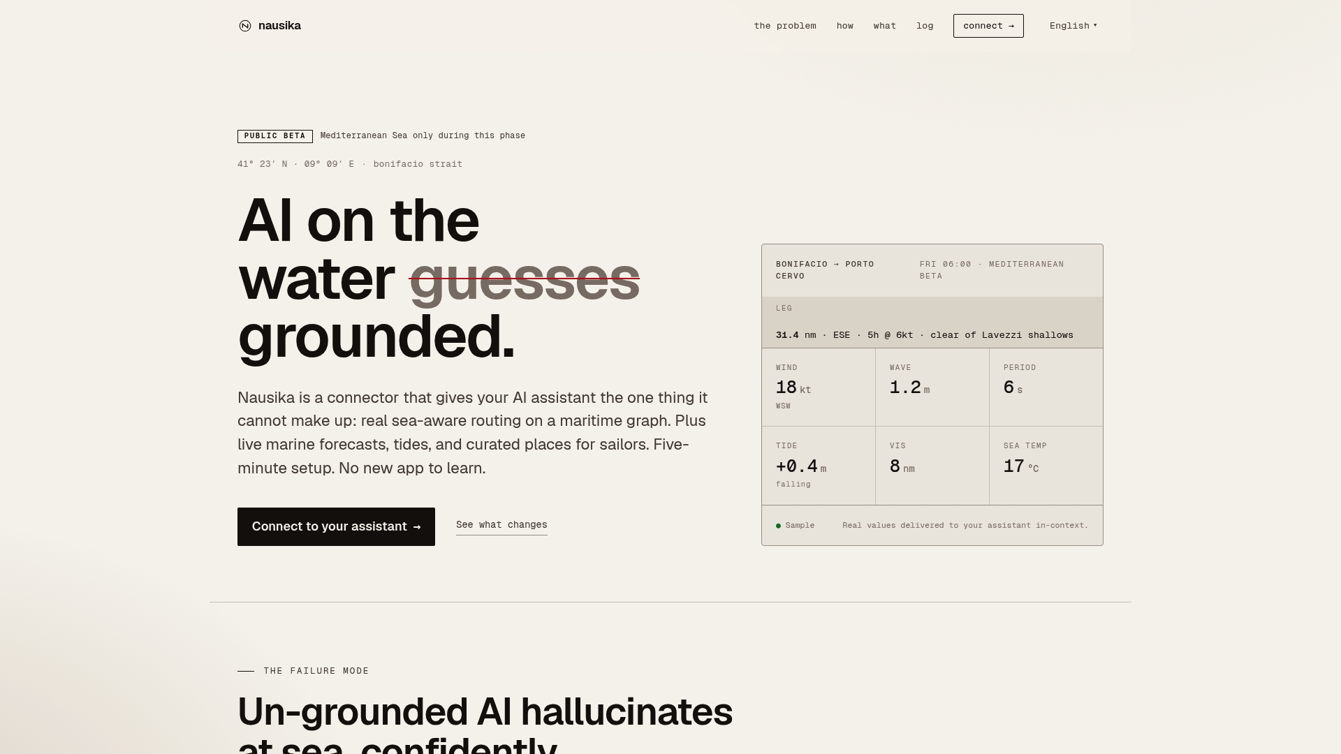
For hurricane hole planning specifically, that means automated threshold alerts when wind forecasts cross storm-force, tide and surge data for your specific location, and harbor notes that reflect current conditions rather than static guidebook entries. You can use it to run through the selection checklist in Section 4, verify mooring field data, and document your storm plan in one workflow. It does not replace a call to your insurer or a visit to the harbormaster — those steps stay with you. But it removes the friction from the data-gathering that should happen 72 hours before those calls.
Nausika is currently in public beta with free access. See what’s coming next on the product roadmap, or connect directly at Nausika to start using validated marine data in your planning workflow today.
Sources
These are the most directly useful references cited throughout this guide:
- What Is a Hurricane Hole? (And Where to Find One) – Garden & Gun
- Choosing the Perfect Hurricane Hole - Practical Sailor
- Caribbean Hurricane Holes | Cruising World
- NOAA Coast: Hurricane resources and forecasts
- Canals: The Ultimate Hurricane Holes - BoatUS/BoatUS Foundation (Boatus)